We are Expert in Urban Planning
Providing top-notch civil engineering, geospatial mapping, project management, and IT services for sustainable development.

About Us
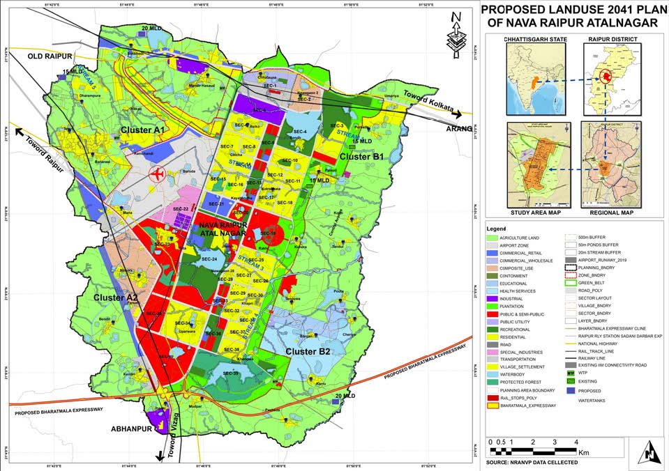
Arcsys Geospatial Private Limited specializes in geospatial solutions, town planning, architecture, and civil engineering services. They lead the way in geospatial technology, revolutionizing Urban and Regional Planning, Engineering, and Architecture with innovative solutions. Their expertise in geospatial technology empowers city planners, facilitating sustainable and resilient urban environments. In Engineering, Arcsys Geospatial's precise satellite imagery analysis and real-time data integration optimize infrastructure development. For Architecture, they offer 3D mapping and modeling, bringing visionary designs to life with harmonious aesthetics and functionality. Pushing the boundaries of geospatial technology, they shape the future of spatial data solutions and positively impact urban landscapes.
Vision & Mission
Arcsys Geospatial's mission is to empower communities, businesses, and governments with advanced geospatial solutions that foster sustainable development, enhance decision-making, and improve overall quality of life.
01 Innovate Geospatial Solutions
Arcsys Geospatial aims to continually innovate and enhance their geospatial solutions, leveraging emerging technologies and methodologies to stay ahead of industry trends.
02 Client-Centric Approach
The company's primary goal is to understand and meet the unique needs of each client. They strive to provide personalized geospatial solutions that address specific challenges and deliver tangible value.
03Sustainable Development
Arcsys Geospatial is committed to promoting sustainable development practices through their geospatial services. They aim to contribute to eco-friendly urban planning, environmental monitoring, and resource management.
04Industry Leadership
The company seeks to establish itself as a recognized leader in the geospatial industry, setting new standards for quality, accuracy, and reliability in spatial data solutions.
05Global Impact
Arcsys Geospatial aims to empower communities and governments worldwide with geospatial insights, fostering informed decision-making and sustainable development for a positive global impact.


We are Expert in
Our Services
We Transform your challenges into actionable solutions.

Need Help Contact us
if you have any questions related to your work, then feel free to contact us, we will happy to help you
Portfolio

OLD AGE HOME - DURGAPUR
Drawing inspiration from the iconic Howrah Bridge and the rich terracotta architecture of West Bengal, we are proud to announce the a new Old Age Home in Durgapur, West Bengal. Designed to foster a vibrant and enriching environment for senior citizens, the facility will feature a range of amenities and services
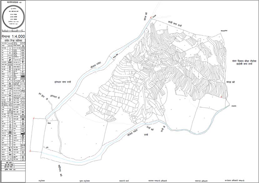
DIGITAL CONVERSION OF REVENUE MAPS ON GIS PLATFORM FOR CHAMOLI DOSTRICT, UTTRAKHAND
AENGAGING GIS CONVERSION OF REVENUE (CADASTRAL) MAPS INTO DIGITAL MAPS ALONG WITH GIS TRANSFORMATION OF GIS DATA ONTO GIS PLATFORM FOR CHAMOLI DOSTRICT, UTTRAKHAND. AS A SUB-VENDOR ARCSYS IS RESPONSIBLE TO TRANSFROM THE HARD COPY REVENUE MAPS INTO GIS CONVERSION AND FURHER PROCESS FOR COMPOSITION OF AYOUTS ALONG WITH GIS DATABASE. THE PROJECT COST IS 18.25 LAKHS.
Our Team
Our Diverse And Dynamic Group Of Professionals Brings Together A Wealth Of Expertise And Creativity, Driving Our Company's Success And Shaping The Future Of The Built Environment.
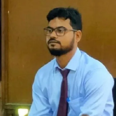
Abhinas Pandit
Founder and Managing Director, Urban PlannerAbinash Pandit is a highly skilled professional in Urban & Regional Planning with over 9 years of experience in Remote Sensing and GIS.

Ashok D Makwana
Co-Founder and PresidentAshok Makwana is a Core GIS professional with over all 25 years of experience in GIS and remote sensing; He possesses a good R&D in the flow of work and found the best solutions in smart work with automation.

Namrata T Gaurkhede
Director - Urban PlanningNamrata Tharwani Gaurkhede is an accomplished architect and urban planner with a diverse professional background. She serves as an Assistant Professor at Smt. Manoramabai Mundle College of Architecture in Nagpur while pursuing her research as a scholar at VNIT, Nagpur.

Rajesh Pandit
Executive Director
Shailesh Naveen
Urban Designer & Director - Architecture
Okong Lego
Urban Planner
Pushkar Adhikari
Urban Planner
S.K. Manga
Senior Civil Engineer
Sanjeev K Singh
Director - Media and Communications
Suyash Verma
Chief Technology OfficerContact
Address
N0004, Saigol Market, Ukhra, Bajpayee More, Paschim Bardhhaman, WB, India – 713363
Call Us
+91 90645 67022
Email Us
business@arcsysgeospatial.com


